

GISWebTech Recruit | Multi-Tenant GIS SaaS for Economic Development
Client / Industry
Economic development / GIS site-selection SaaS
🛑 The Business Challenge
Economic Development Organizations need to make their communities easy to evaluate for site selectors deciding where a business should locate - but that means managing thousands of demographic, property, and geospatial data variables per community, giving every EDO tenant its own branded experience, and keeping GIS reporting accurate as the platform scaled from a single market into a second country.
- Multi-tenant complexity: each EDO needed its own branded portal, admin panel, and report styling within one shared platform
- Large geospatial datasets: over 18,000 property and demographic variables needed to stay fast and accurate to query and report on
- GIS reporting accuracy: Esri-based community and property reports needed to stay correct as data sources and layers evolved
- Market expansion: adding Canada meant new demographic layers, new reporting rules, and new edge cases the US-only version never had to handle
Solution: Four Years as the Core Engineering Team
We worked as the primary development team on GISWebTech's Recruit platform from 2017 to 2021, across the full stack - from the ASP.NET backend and Esri GIS integration to a Python-based data import pipeline.
- Layered .NET Architecture: A clean Core / Application / EntityFramework / WebApi / Web separation kept the platform maintainable as it grew
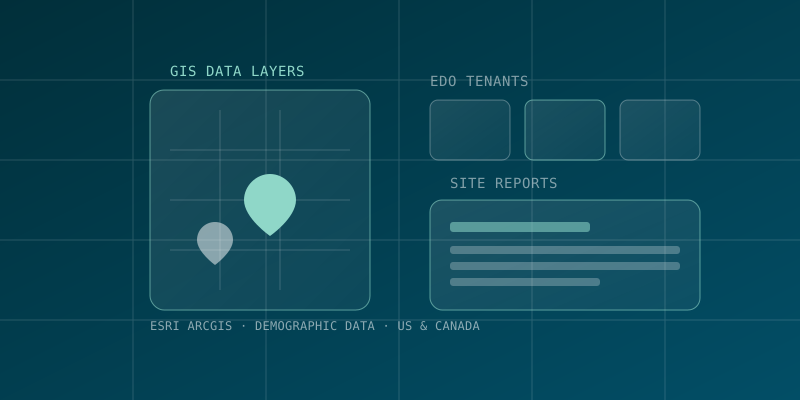
- Esri ArcGIS Integration: Built and maintained community and property reports, per-tenant branding, and GIS layers (including demographic data layers) on top of ArcGIS Online
- Data Pipeline: A Python and Node-based importer pipeline kept property, demographic, and labor-market data current across tenants
- Canada Market Expansion: Extended demographic layers, custom report tools, and area-selection tools to support a second country, alongside the existing US product
- Geocoding Automation: Automated address-to-coordinate geocoding so clients no longer had to manually enter lat/lon when adding a property
💻 Modern Technical Architecture
Backend: ASP.NET MVC and Web API (.NET Framework) with Entity Framework 6 over SQL Server, in a layered Core/Application/Infrastructure architecture
GIS & Reporting: Esri ArcGIS Online integration for interactive maps, per-tenant branded community/property reports, and infographics
Data Import: A dedicated Importer project (Python and Node) for keeping property, demographic, and labor-market datasets current
Delivery: Azure DevOps-based CI/CD with pull-request-based code review across a multi-year, multi-developer engagement
Technology
📋 Project Technical Summary
| SEO Category | Technology Implemented |
|---|---|
| Industry | Economic Development / GIS Site-Selection SaaS |
| Core Stack | ASP.NET MVC/Web API, Entity Framework 6, SQL Server |
| GIS Platform | Esri ArcGIS Online |
| Data Pipeline | Python & Node-based importer |
| Engagement | 4 years (2017–2021), core engineering team |
Result
Four years (2017–2021) as the core engineering team, including expanding the platform's demographic and GIS reporting capabilities from a US-only product into the Canadian market
🚀 Project Results & Impact
🤝
Sustained Partnership: Four years as the platform's core engineering team, not a single handoff project
🌍
Market Expansion: Extended the platform's GIS and demographic capabilities into a second country
🗺️
Data at Scale: Kept 18,000+ property and demographic variables per community fast and reportable through Esri ArcGIS
Discuss a Similar Project
Have a similar project in mind? Let's discuss your specific requirements.