

Engineering Link Analysis | Geospatial Intelligence Platform
Client / Industry
Geospatial intelligence & data analytics
🛑 The Business Challenge
Understanding how locations, events, people, and organizations relate to each other is hard when that intelligence is scattered across separate sources. Analysts needed one interactive view that could layer this data geographically, without giving up the ability to export it into the spreadsheet and mapping tools they already used.
- Fragmented intelligence: locations, events, people, and organizations lived across separate data sources with no unified view
- Accessibility: the tool needed to be usable directly in a browser rather than requiring specialized desktop GIS software
- Interoperability: analysts needed to move data in and out via formats like KML and Excel, not just view it in one closed system
Solution: Browser-Based Geospatial Link Analysis
Built by our team as a browser-based geospatial analytics tool, combining interactive mapping with the ability to establish and visualize links between entities.
- Interactive Mapping: Google Earth and Cesium JS embedded directly in an HTML5 page for 2D/3D geospatial visualization
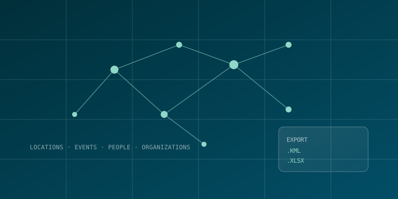
- Entity Linking: GoJs-powered diagramming to visualize links between locations, events, people, and organizations
- Data Export: KML and Excel export so analysts could take geospatial search results into the tools they already used
- Automated Testing: A dedicated Azure DevOps test suite covering geospatial search (text, line, and point-based) and KML/Excel export, run on every build
💻 Modern Technical Architecture
Backend: ASP.NET Core with MongoDB and PostgreSQL for entity and geospatial data
Mapping: Google Earth API and Cesium JS for 2D/3D geospatial rendering in the browser
Diagramming: GoJs and Google JSTree for visualizing entity relationships and hierarchies
Quality Assurance: Automated test suite covering geospatial search and KML/Excel export, tracked in Azure DevOps
Technology
📋 Project Technical Summary
| SEO Category | Technology Implemented |
|---|---|
| Industry | Geospatial Intelligence & Data Analytics |
| Core Stack | ASP.NET Core, MongoDB, PostgreSQL |
| Mapping | Google Earth API, Cesium JS, GoJs |
| Export Formats | KML, Excel |
| Quality Assurance | Automated Azure DevOps test suite |
🚀 Project Results & Impact
🔗
Unified View: Brought locations, events, people, and organizations into one geospatial view instead of separate sources
🌐
Browser-Based Access: Delivered as an embedded HTML5 experience rather than requiring specialized GIS desktop software
✅
Verified Reliability: Automated test suite covering search and export ran at 100% pass rate on the builds we reviewed
Discuss a Similar Project
Have a similar project in mind? Let's discuss your specific requirements.